January 7, 2026 | 03:18 pm

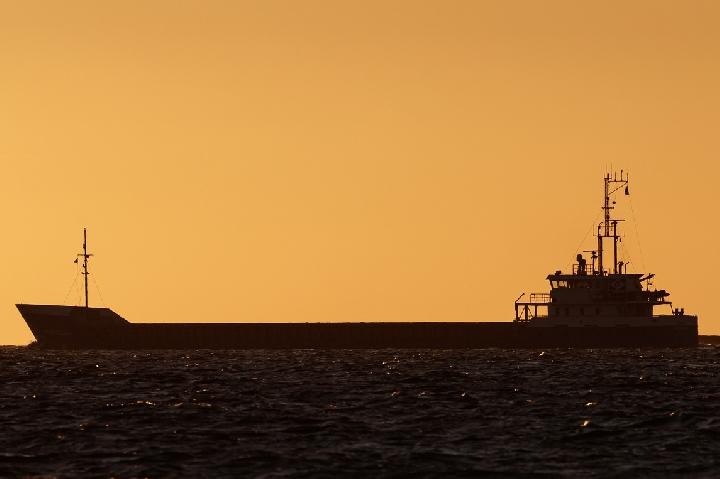
TEMPO.CO, Jakarta - The Meteorology, Climatology, and Geophysics Agency (BMKG) has issued an early warning of potential high waves in several Indonesian waters from January 7 to 10, 2026.
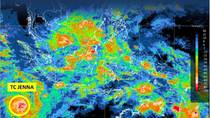
BMKG forecaster Amryuda Mas Nalendra stated that Tropical Cyclone Jenna (15.2 South Latitude, 95.5 East Longitude) in the southwest Indian Ocean and the tropical cyclone 90W (13.5N, 127.9E) in the Philippine Sea have caused an increase in wind speed and high waves in Indonesian waters.
Amryuda mentioned that the wind patterns in the northern part of Indonesia generally move from the northwest to the northeast with wind speeds ranging from 6 to 25 knots. "Meanwhile, in the southern part of Indonesia, the wind patterns generally move from the southwest to the northwest with wind speeds ranging from 6-25 knots," he said in a written statement on Wednesday, January 7, 2025.
He added that these conditions have led to an increase in wave heights of 1.25-2.5 meters potentially occurring in the waters southwest of Morotai, the waters west of West Halmahera, the waters southwest of Obi, the waters east of Sanana, the waters northeast of Obi, the waters north of Taliabu, the waters east of Kayoa, the waters southeast of Morotai, the waters northeast of Morotai, the waters of the Loloda Islands, the waters of the Batang Dua Islands, the waters of Ternate, the waters west of Bacan, the waters northwest of Obi, the waters north of Mangole, the waters southeast of Obi, the waters south of Taliabu, Weda Bay, the waters east of the Halmahera Islands, the waters northwest of Morotai, and the waters of Gebe.
Furthermore, higher waves in the range of 2.5-4.0 meters are likely to occur in the southern Indian Ocean off West Java, the southern Indian Ocean off Yogyakarta, the southern Indian Ocean off Bali, the northern part of the Karimata Strait, the eastern part of the Arafura Sea, the southern Indian Ocean off Central Java, the southern Indian Ocean off East Java, the southern Indian Ocean off NTB, and the central part of the Arafura Sea.
"In addition, high waves reaching 4.0-6.0 meters are likely to occur in the North Natuna Sea," said Amryuda. "The potential high waves in these areas could pose a risk to maritime safety."
Therefore, Amryuda advised the public, especially fishermen, to beware of wind speeds exceeding 15 knots and wave heights above 1.25 meters when using transportation modes such as fishing boats.
For cargo barges, they should avoid wind speeds exceeding 16 knots and wave heights above 1.5 meters. For ferries, they should be wary of wind speeds exceeding 21 knots and wave heights above 2.5 meters.
"Residents and activities along the coasts of areas with potential high waves are urged to remain vigilant," he added.
Read: BMKG Warns of Rain and Strong Winds Across Greater Jakarta Today
Click here to get the latest news updates from Tempo on Google News
BMKG Warns of High Waves in Indonesian Waters Due to Cyclone Jenna
22 jam lalu

The influence of tropical cyclone Jenna has resulted in the highest wind speed observed in the North Natuna Sea and the Indian Ocean west of Bengkulu to Lampung.
BMKG: Cyclone Seed 91S Develops Into Tropical Cyclone Jenna Near Indonesia
1 hari lalu
The latest report from the Tropical Cyclone Warning Center (TCWC) Jakarta indicates the development of Tropical Cyclone Jenna, with the potential to become a category three cyclone and move southwest away from Indonesian territory.
Cyclone Hayley Intensifies, Brings Heavy Rain to Three Indonesian Regions
8 hari lalu
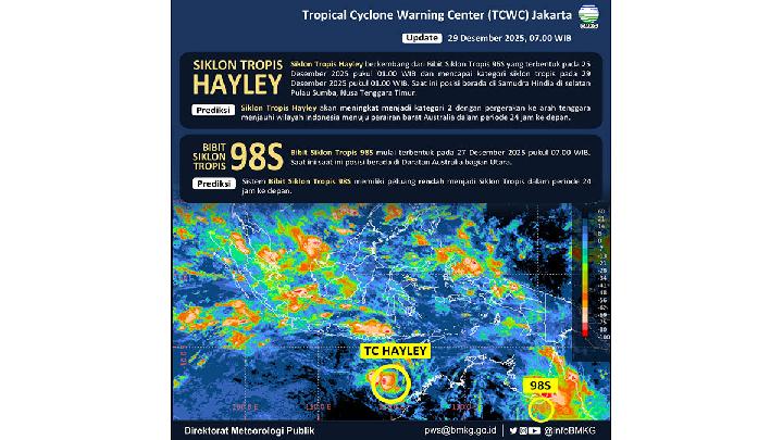
The vortex formed from Cyclone 96S on December 25 will become a Category 2 tropical cyclone by Tuesday.
Aceh's Bitter Lesson, Relearned
10 hari lalu
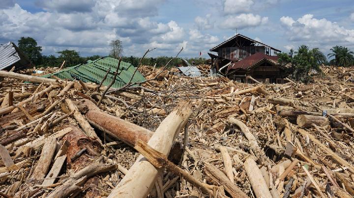
In 2004, Aceh was hardest hit by the Indian Ocean tsunami. In 2025, Indonesia's most disaster-aware province was among the worst hit by floods
Major Tropical Cyclones Could Still Affect Indonesia in 2026, BMKG Says
13 hari lalu
Indonesia remains at risk of significant tropical cyclones in 2026, but BMKG cannot estimate how many may occur.
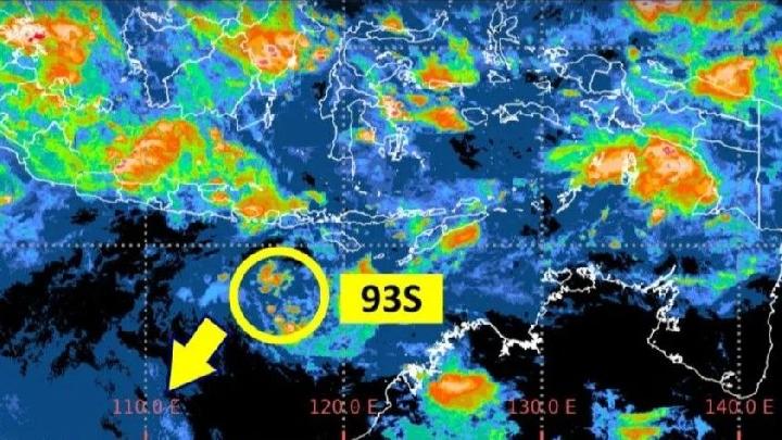
BMKG: Tropical Cyclone 93S Intensifies While Drifting Away from Indonesia
15 hari lalu

BMKG predicts Tropical Cyclone 93S is moving west away from Indonesia, with winds expected to reach 60 knots (110 km/h) by Wednesday.
BMKG: Light Rain to Continue in Greater Jakarta Area
16 hari lalu

Forecast for today's weather in the Jakarta area, Monday, December 22, 2025, according to the BMKG.
Cyclone 93S Brings Rain to Greater Jakarta Over the Past Two Days
19 hari lalu
New data and analysis from BMKG reveal that Tropical Cyclone 93S is currently located in the southern region of West Java. Which areas are affected?
BMKG Warns of Up to 4-Meter Waves in Several Indonesian Waters
20 hari lalu
In addition to high waves in the waters, Tropical Cyclone Bakung and the tropical cyclone seeds 93S and 95S could also cause heavy rains.
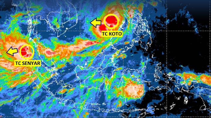
Indonesia's BMKG Warns of Three Cyclones Surrounding These Areas
22 hari lalu
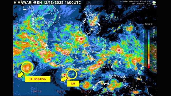
The head of BMKG, Teuku Faisal Fathani, stated that three tropical cyclones are surrounding Indonesia, namely Cyclone Bakung, Cyclone 93S, and Cyclone 95S.